


Boc news bricks editor
sample test goes here
sample test goes here

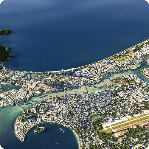
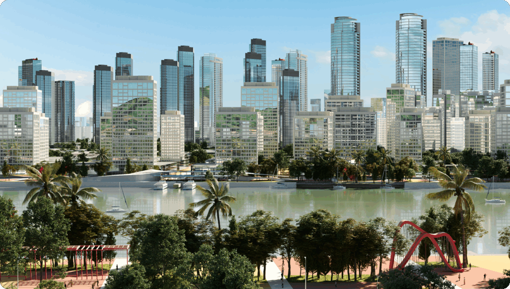
Aerial View (Perspective of the panoramic view)
Main features:
- View from above at a high altitude, showing the entire scale of a large area.
- Often used to draw cities, master planning, large geographical areas.
- Clearly show the relationship between areas, traffic infrastructure, natural landscape.
Application:
- Present the master plan, connecting the city with nature and traffic.
- Used in urban planning reports, infrastructure development strategies.
- For example in the picture:
- Figure 1: Show the entire coastal city, including mountains, rivers, roads, airports and functional areas.
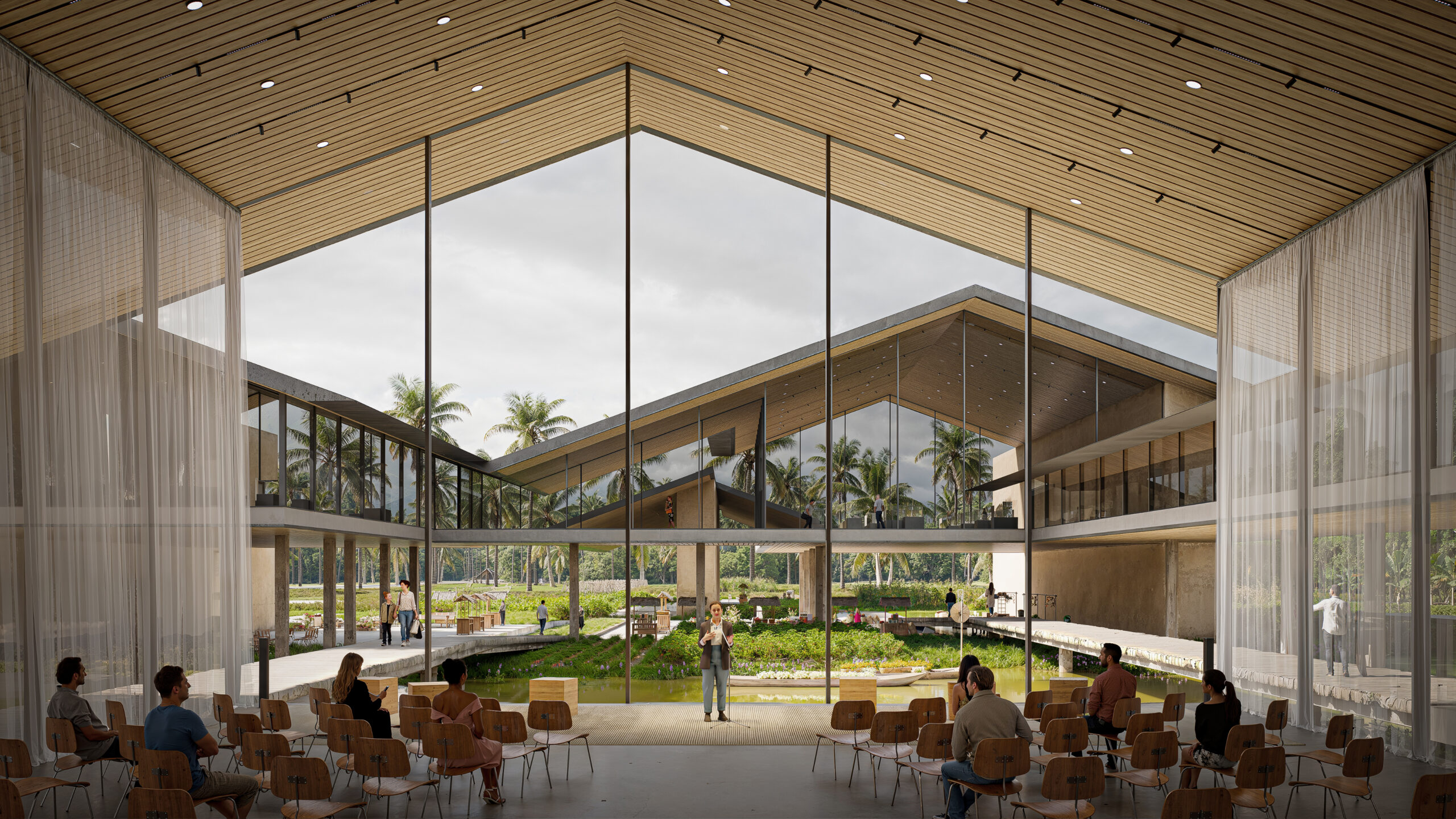
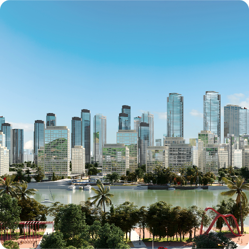
Striking a balance: Realism and artistic expression in Anima 5
BOC provides visualization services for various design entities in Vietnam, each with its own unique needs and preferences. For some client projects, they integrate 3D digital humans into their designs to showcase the scale and proportion between individuals and architectural spaces.
Dealing with projects that have tight timelines can be extremely challenging. However, they have found immense benefits in using the 4D digital human library and rigged people from Anima. This allows them to easily select digital figures and ensur.